
Wisconsin Excluded
Every map and atlas ever made can be read as a declaration of inclusion and exclusion. What are the names that get featured on the maps, and in what relative prominence? What parts of the city, the country, the world are left to the areas outside the frame? What are the tradeoffs that accompany each kind of representation, distorting as they all necessarily do? Even globes distort if only because of the scaled-down modeling. So do the visualization tools of VR technology. High resolution is the distortion of our time.
Then there is the meta level. Naming the non-human features of the land is a human activity with all attendant human limitations. Thus, once again the will to represent falls into the well of selection—and for an atlas like this one, of curation. Trained cartographers and geographers don’t think of their work as curating, but the bread and butter activity for many is site selection. For the pros working in that same zone with the intent to create useful guides and documents, this kind of selection is an inescapable condition through which they practice their craft.
For the rest of us, for whom maps exist as authoritative guides to the worlds we travel, and around which we plan for the future and understand the past, it is easy to ignore or forget the undeclared inclusions and exclusions. When it comes to realities mediated by representations, whether those are maps, photographs, literary descriptions, or what have you, the ultimately arbitrary exclusions largely determine our “worlds.” By the same token, finite inclusion is what makes for future discovery and exploration. There will never not be “blank spots on the map,” even if such blanks simply refer one to another map. Another set of inclusions and exclusions, another collection of selections. This is the chief lesson from my fifty years of wanderings and homes-making around the Midwest and the world. Seeing the horizon and then stepping beyond it, always by choice–I have been very lucky that way. But every hopped horizon merely produces a new horizon behind oneself, a screen that obscures the continually changing world of the once known. If there is a corollary to that in my artwork, it expresses itself in how the research for a given project always opens up new questions—-questions I did not know to ask until stepping through and into a new artistic terrain. It seems that any exploratory mode would produce this epistemological dynamic.
I say all this to acknowledge that an editor’s conundrum is similarly present when assembling any kind of publication, but doubly fraught when the task is to supply an atlas with entries. My assignment here is to bring on board contributions that accurately represent Wisconsin, inasmuch as I operate within it. So, what to include? Excluding what else? In answer to the first question, I defer to the project guidelines. I am allowed three invitations only. In answer to the second: all the rest. As for accuracy, my subjects can only represent themselves accurately; that they happen to reside in Wisconsin speaks to the random and contingent quality of individual fates. I’ll call these three contributions a randomly accurate representation of Wisconsin.
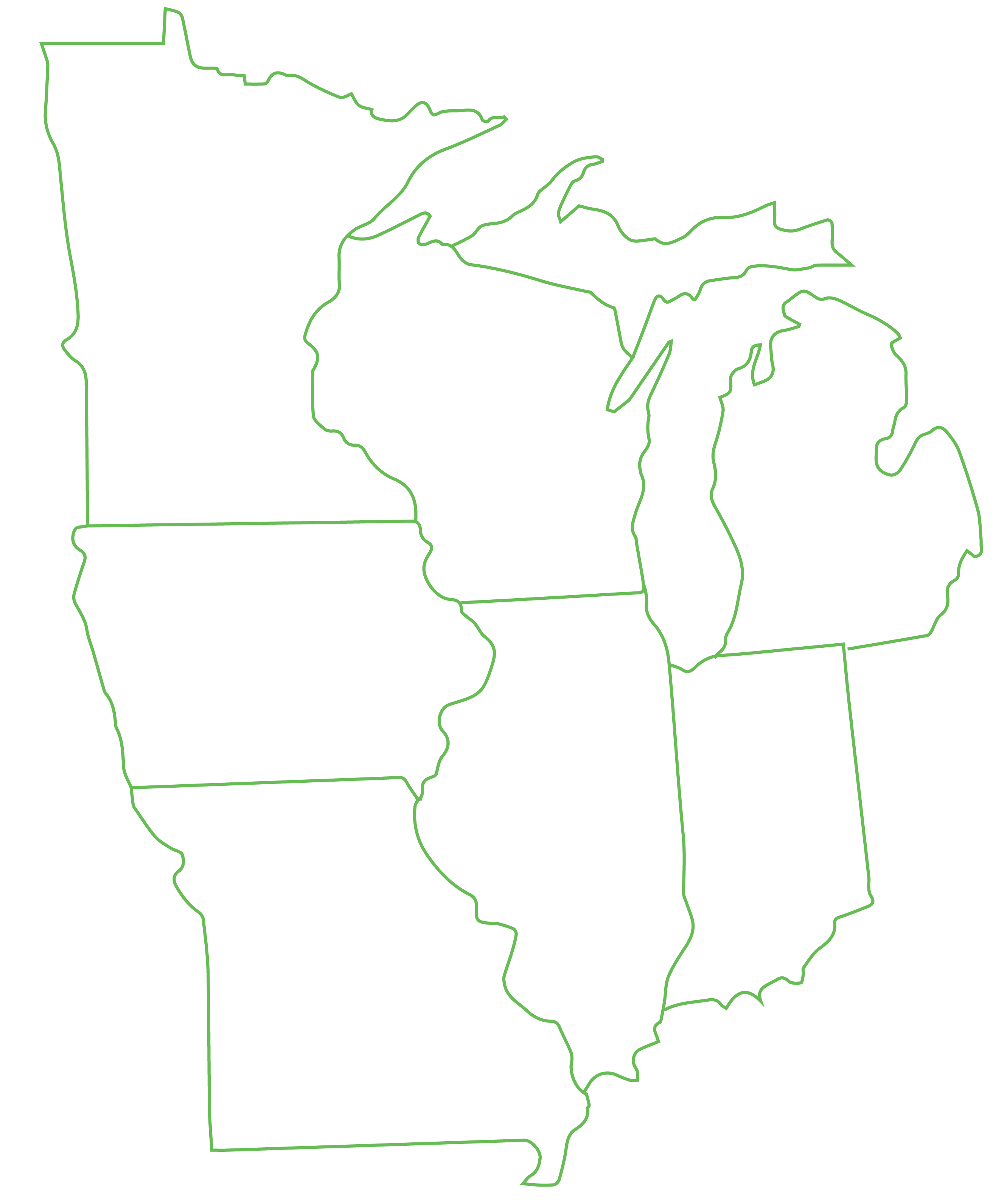
The spatial context is the southern third of the state, which is relatively exacting for our purposes but nonetheless arbitrary. The Northern edge of this expanse can be drawn as a line connecting Sheboygan to the Wisconsin Dells to La Crosse. Our Southern limit is the Wisconsin/Illinois state line. Rolling from East to West, think of a territory ranging from the urban frontage along Lake Michigan to the sloughs, bays, and channels of the Eastern banks of the wide Mississippi River. If one had to put the Cheddar Curtain on a road atlas, this could be the corresponding belt. According to stereotype, a Northbound traveler venturing beyond this zone enters the fabled Dairyland of deer blinds and cheese curds, snowmobiles and walleye. Funeral receptions may feature slow cookers next to pitchers of beer, next to pitchers of milk.
If such details ever painted a realistic picture of Wisconsin’s social culture, today that picture is not so much distorted as it is incomplete. The lists of inclusions and exclusions for Southern Wisconsin are, I argue, simply longer compared to Central and Northern Wisconsin. It’s a fact of social and economic diversity, of population. As for the longstanding customs of Wisconsin, the beer, dairy, and all the rest are alive as the nearest Friday fish fry–still popular throughout the state, Southern third included. But now, the storied customs exist in a contemporary mix of cultures, many utterly alien to the Good Ol’ Days of Curly Lambeau. There’s an emerging Wisconsin mosaic thanks to new waves of Mexican immigrants, growing ranks of tech workers, and a steady flow of would-be climate refugees from the West (a subset of which are exactly those folks who stepped over the horizon for the dusty sun-blazed dreams of the parched West, only now to return). While the locavore meat and produce economy is a welcome counter to the ongoing consolidation of conventional dairy happening all over the state, the craft non-alcoholic beers catching on in the state’s nodes of hip living are almost anti-Wisconsin in spirit. But to my mind, the trend is very welcome in a state that always takes at least half of the top ten slots in national rankings of binge drinking places.
The Northern two-thirds of the state comprise dozens of counties with towns spread across many hundreds of square miles. They are home to artisans and musicians, brewers and water protectors, educators and entrepreneurs, and important Native lands unceded and unoccupied. But, if judged by elections, they’re also likely disproportionately accepting of treasonous reactionaries of the New Confederate stripe, an imported conservatism that makes the Cold War demagoguery of Joe McCarthy feel like quaint bush league opportunism. Let’s not forget that the state’s most successful automaton-fascist, Scott Walker—a man whose national ambitions outstripped his regional appeal—had his political butt handed to him in the 2016 primaries, while competing against the evil clown showbiz charisma of Donald Trump. The Orange Nationalism that’s taken hold of a segment of the Wisconsin electorate is, to put it in nostalgic terms, completely unlike the anti-slavery Republicans that founded the Grand Old Party back in 1854 in little Ripon, Wisconsin.
The southern third of Wisconsin, by contrast, suffers slightly less political moronism, Walker notwithstanding (being a creature of southeastern Wisconsin himself). At the ballot box, a beleaguered part of the democratic process in this most closely polarized of swing states, the most populous and bluest counties counterbalance the conservative communities dominating the rest of the state. That said, a land of utopias this is most definitely not. Instead, this part of the state bears the overpoliced neighborhoods of Milwaukee’s North side, the tyranny of good intentions in Madison, and the eccentricities of the Driftless Area playing out in the fight against its own instincts to market itself. Liberal political culture is a mess of contradictions, and nowhere more so than in Wisconsin.
It is from this urban/rural + global/local continuum of southern Wisconsin that I’ve invited three voices who contribute in three forms: Alondra Garcia, a second grade public school teacher; mIEKAL aND, the plants/poetry/permaculture maven resident of Dreamtime Village, and Scott Sprecher, a supporter of rural arts. Together the three provide a sampling of today’s cultural streaks that run through southern Wisconsin, which also should be read as a signpost for stories unheard, places unmarked, voices uninvited. An atlas to be used advisedly.